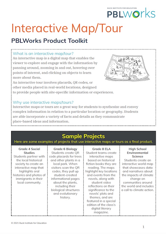
Product Toolkit: Interactive Map or Tour

An interactive map is a digital map that enables the viewer to explore and engage with the information by panning around, zooming in and out, hovering over points of interest, and clicking on objects to learn more about them. An interactive tour involves placards, QR codes, or other media placed in real-world locations, designed to provide people with site-specific information or experiences. Download the PDF to learn how to guide your students through the process of making interactive maps or tours in PBL.
Log in to get this resource...
To view or download this resource, log in here.
LoginDon't have an account yet?Register for free
